Drone 3d Scanning
Drone 3d scanning
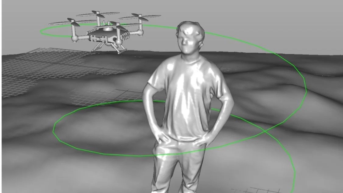
One of the many 3D scanning services that we offer is Drone 3D scanning. The use of drones ensures positional accuracy in vast, dangerous, or hard to reach areas. Drone systems that perform 2D and 3D scanning are cost-effective as well as time effective and provide flexibility in the ability to capture 2D and 3D data. These services are applicable to land management, planning for development, and further construction. Drone 3D scanning is also linked to services such as point clouds, 3D models, 2D CAD drawings, and flythrough videos.
Using a process called photogrammetry we are able to use aerial photographs captured by a drone to create colorized 3D models of structures and landscapes. This allows us to create accurate animations of accident scenes, take critical measurements, and create topographical maps. It is also possible to create composite images of large areas that would otherwise be impossible to include in a single image. This can be useful for diagramming and mapping scenes, build sites, or any other large area of land.