
Site Mapping
site mapping
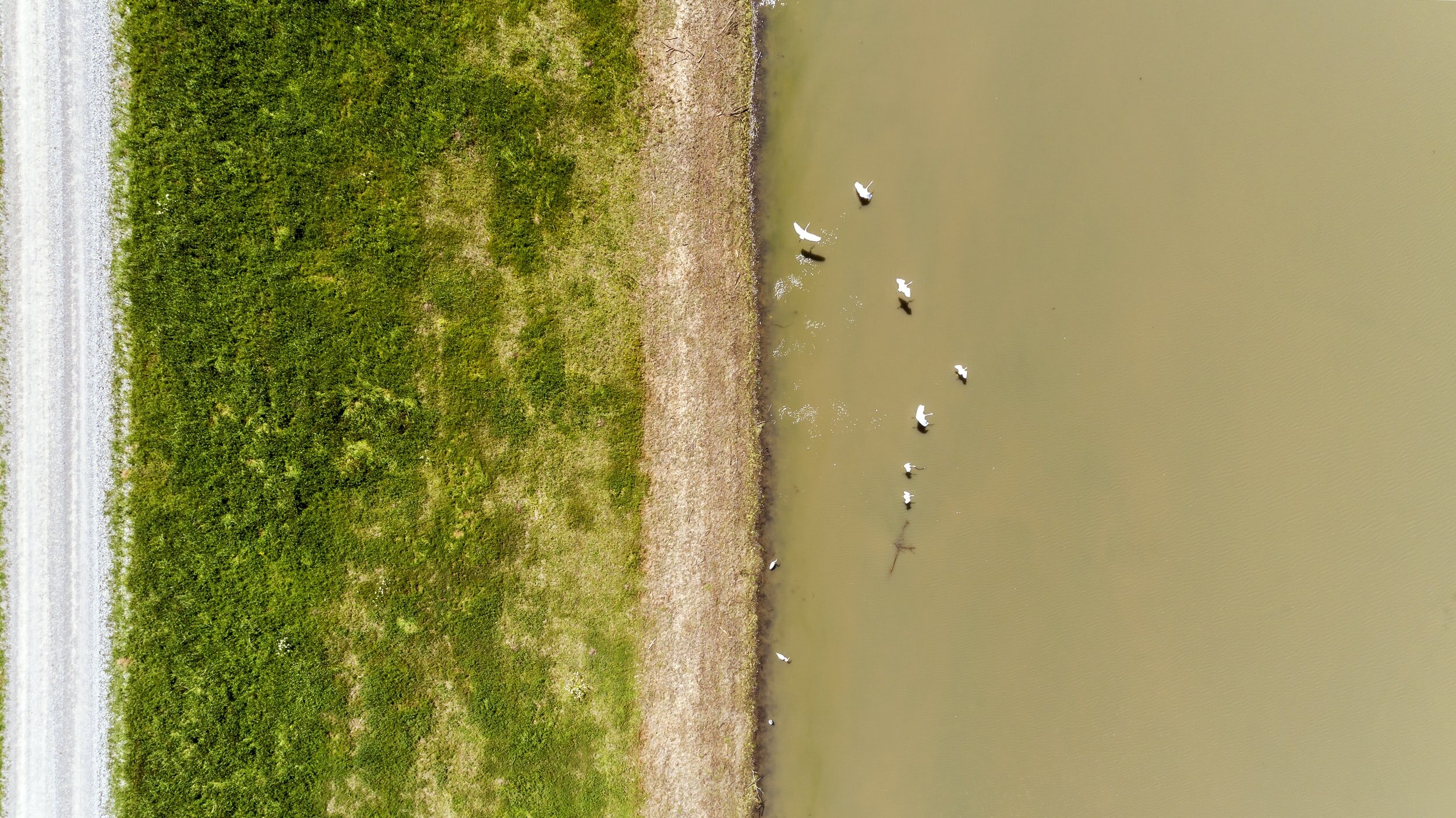
Site mapping is a process that is done by using 3D scanning. The scans will quickly provide the distance of the site that is being mapped along with the changes in elevation. In the case of underground wire or pipe strikes site mapping is also used to define where locate marks were made verses where underground utilities or features are present.


site mapping services include:
Elevation change
Underground strikes verses locate marks
Explanation of property damage
Predictions of water flow/prediction of damage
Aerial mapping